HOME
SUBJECT
UNITED STATES MAPS
NAVIGATION
Home
About
Help
View Cart
Explore the Collection
Artists
Featured Categories
Subjects |
View All
United States Maps
New Jersey Maps
New York Maps
Virginia Maps
Refine by style
Cartography
Early 20th Century
United States Maps
36 Items Found | Page 1 of 2
NEXT
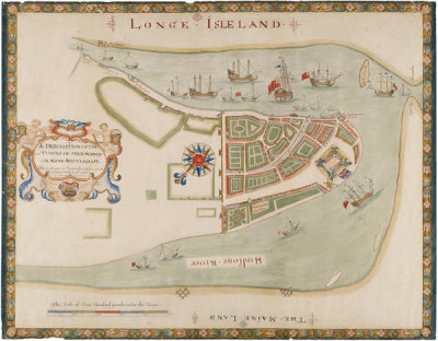
Unknown Cartographer
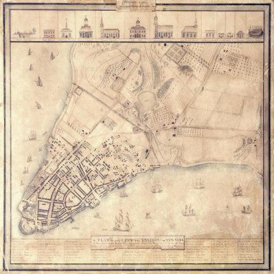
"The Duke's Plan" A Description of the Towne of Mannados: Or New Amsterdam as it was in September 1661, 1664
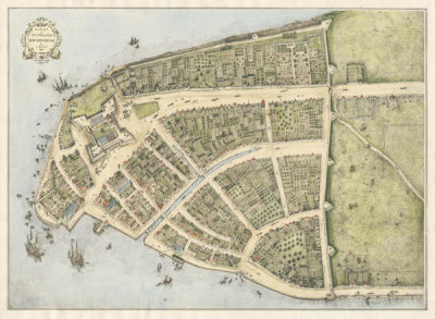
John Wolcott Adams
Redraft of the Castello Plan, New Amsterdam as it appeared in 1660, 1916
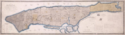
John Randel, Jr.
Commissioner Plan, A Map of the City of New York, 1811
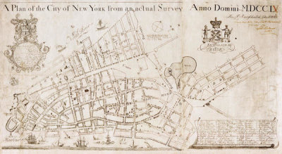
Francis Maerschalck
A Plan of the City of New York from an actual Survey Anno Domini - M, DCC, IV, 1754 (N-YHS)
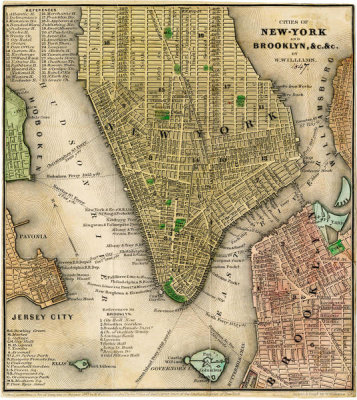
William Williams
Cities of New-York and Brooklyn, 1847
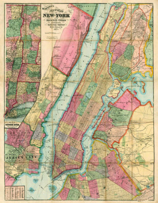
Gaylord Watson
Map of New York and Adjacent Cities, 1874
New York Common Council
Plan of the City of New York, copied from the Ratzer Map of 1770
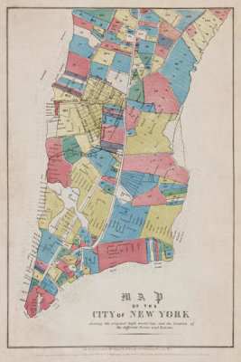
New York Common Council
Map of the City of New York showing original high water line and the location of different Farms and Estates, 1853
Creator Unknown
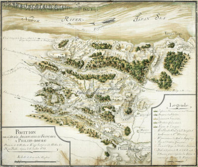
Position de l'armée américane et française à Philip’s-bourg, ca. 1781
Matthew Dripps
City of New York Extending Northward to 50th St., 1852
Emanuel Bowen
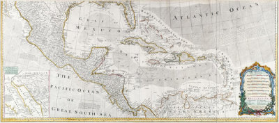
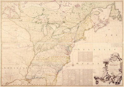
A New and Correct Map of North America (lower part), 1783
United States Coast Survey
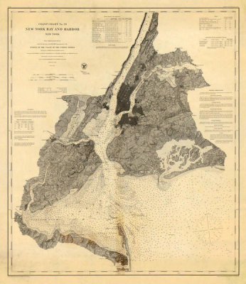
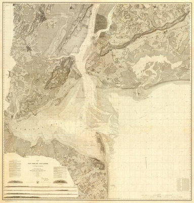
Coast Chart No. 20 New York Bay and Harbor, New York, 1866
New York Central Railroad Company
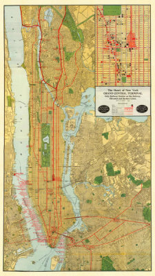
Heart of New York, 1918
John Mitchell
A Map of the British and French Dominions in North America, London, 1755
David Grim
A Plan of the City and Environs of New-York as they were in the Years 1742, 1743 and 1744, 1813
John H. Eddy
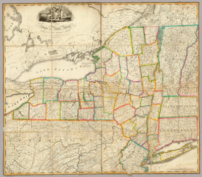
State of New York with part of the adjacent States, 1818
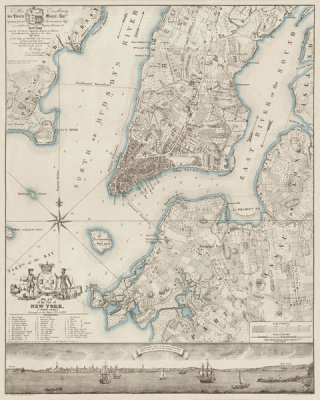
United States Coast Survey
Map of New York Bay and Harbor and The Environs, 1844
Sidney E. Morse
New York and Vicinity, 1845
Emanuel Bowen
A New and Correct Map of North America (upper part), 1783
Townsend MacCoun
1609; The Island of Manhattan, at the time of its discovery, showing its elevations, water-courses and shore-line, 1909 (N-YHS)
Joan Vinckeboons
Map of New York City Region - Manatvs gelegen op de Noot Riuier, 1639
William Damerum
Map of the Southern part of the State of New York, 1815
William Faden
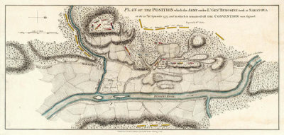
Plan of the Position Which the Army under Lt. Genl. Burgoine Took at Saratoga on the 10th of September, 1777
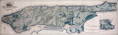
Egbert L. Viele
Topographical map of New York, showing watercourses and made land, 1865